A standard National Vegetation Classification and its hierarchy are the foundation to vegetation mapping and associated applications. Information from the various levels of the hierarchy can be used at national, state, and local scales for answering questions regarding land use, land management, and climate change adaptation.
Click here to learn more about the Vegetation Mapping Process
Abstracts from presentations about USNVC delivered at ESA Annual Meetings can be searched in the online Meeting Programs.
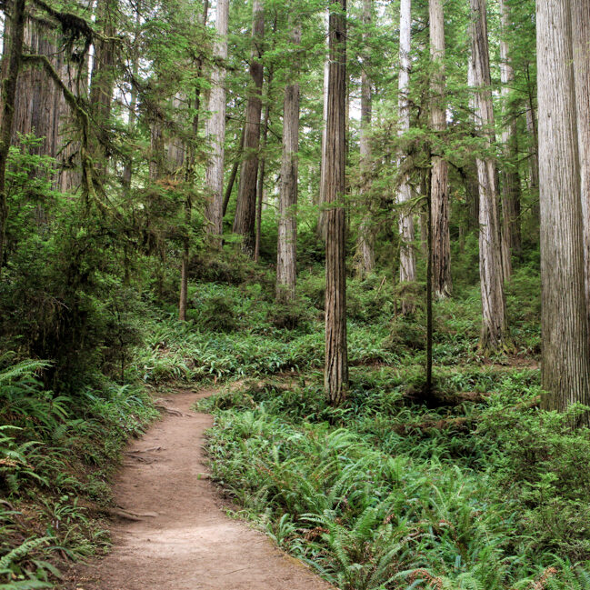
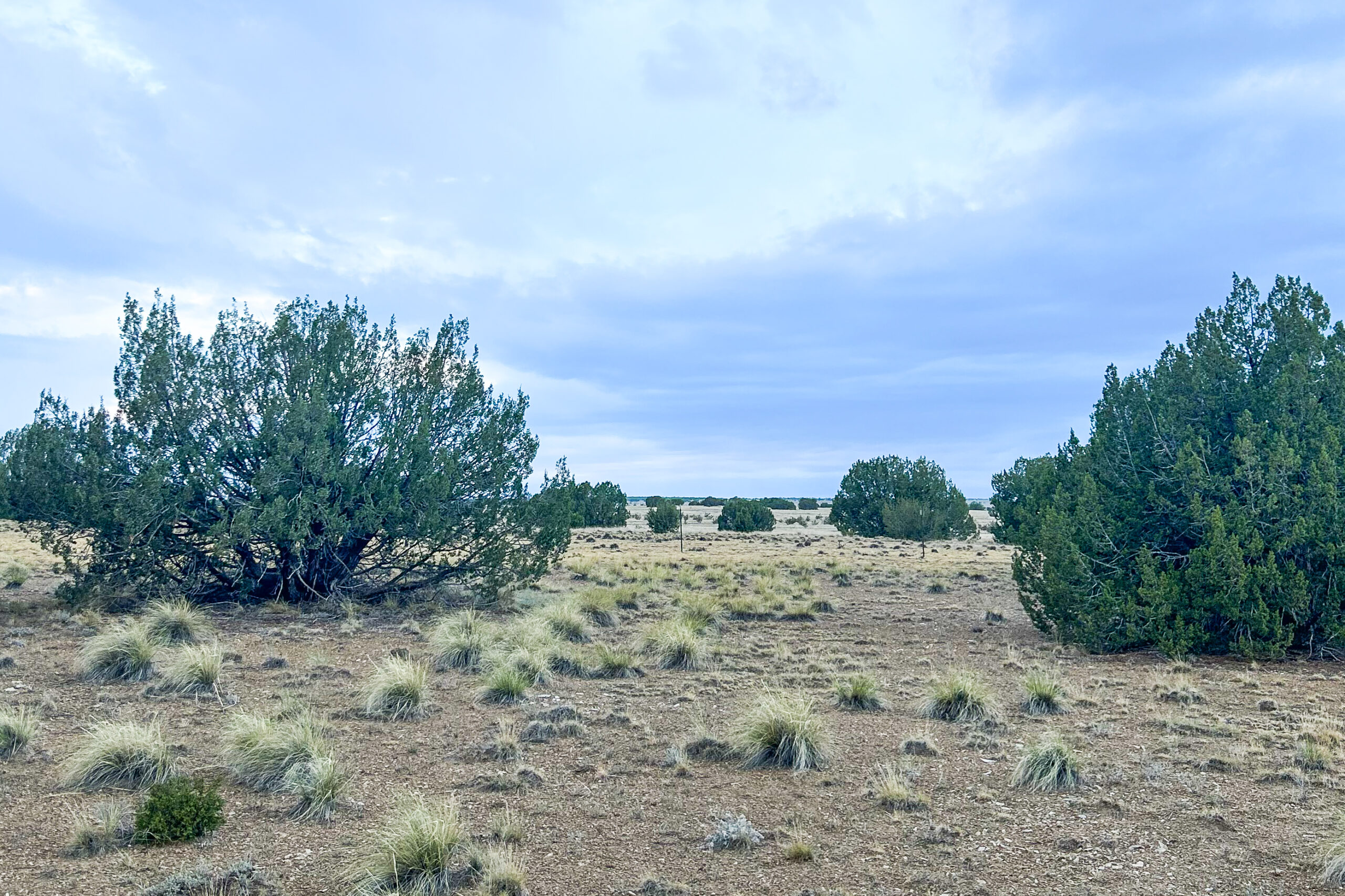
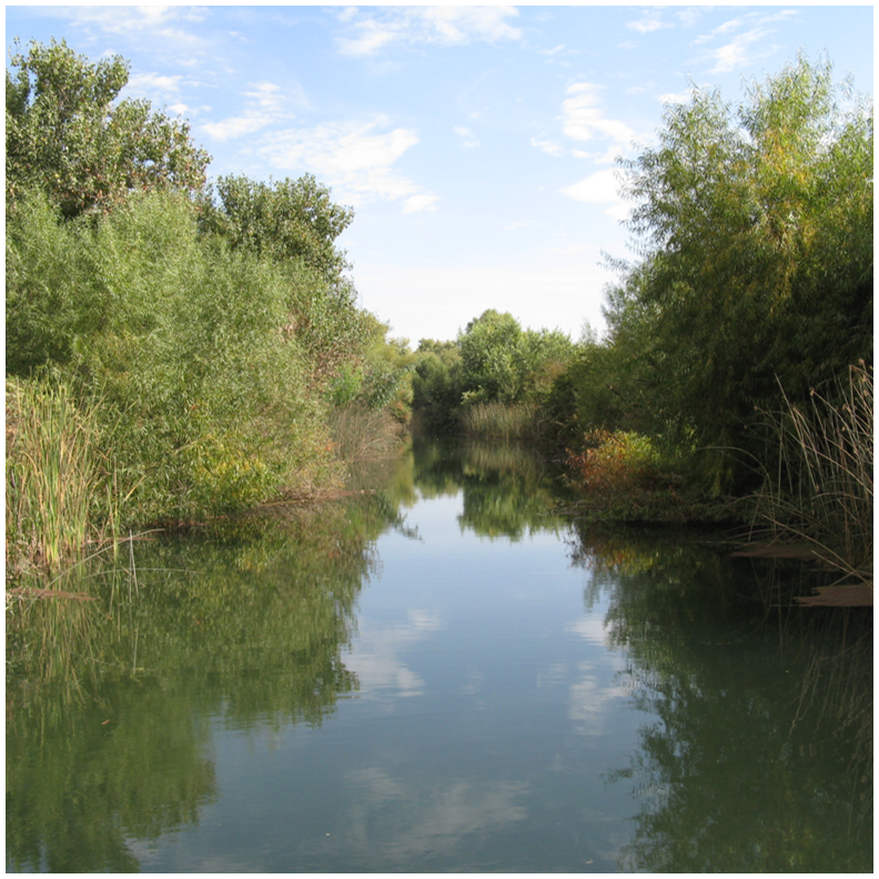
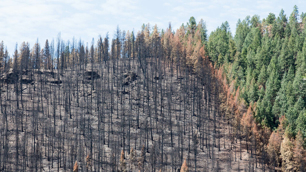
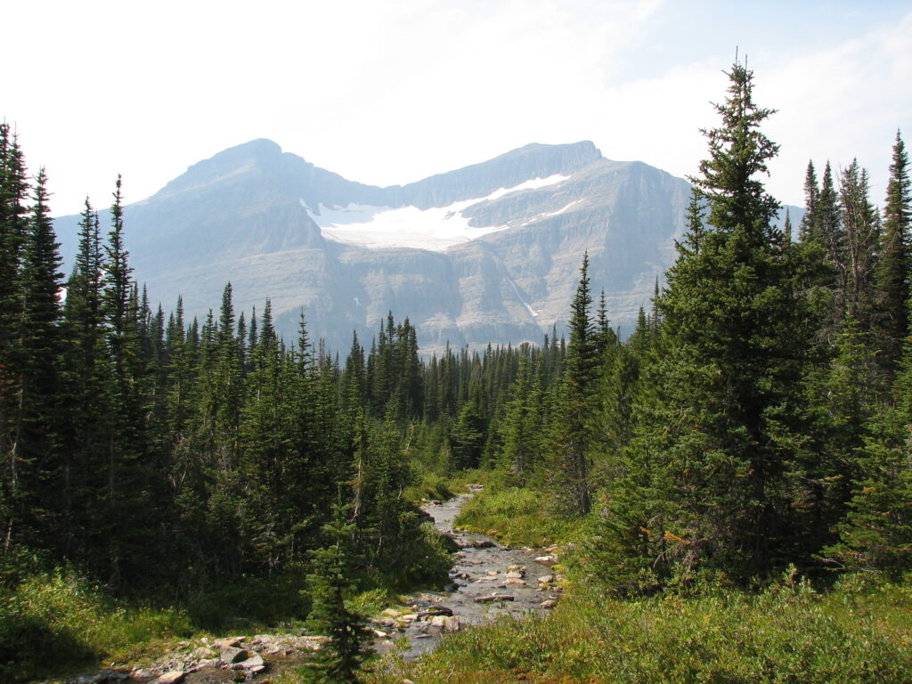

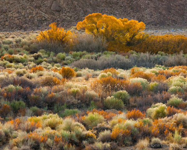

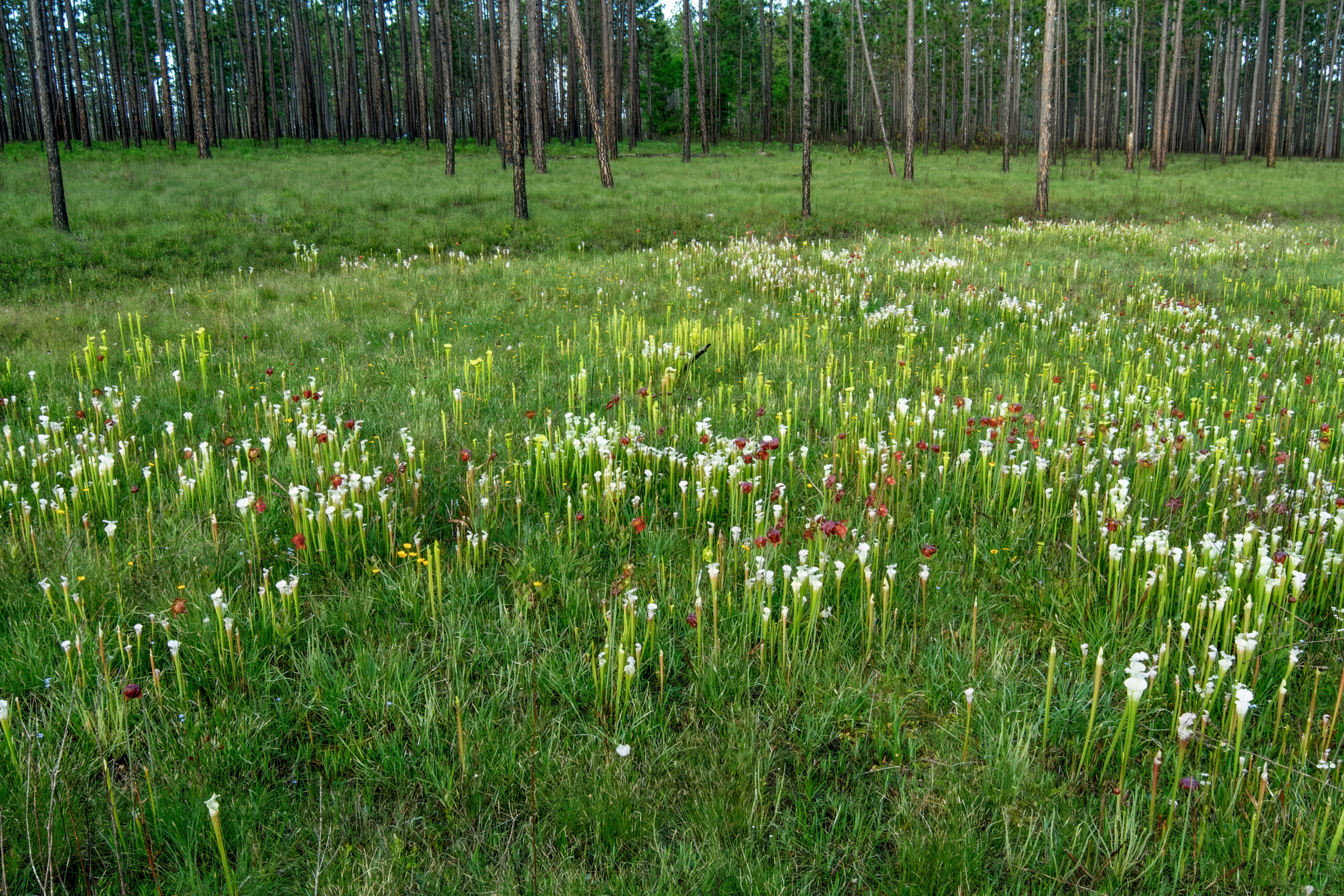
Photo Credits: Kimberely Alexander, Grant Musgrave, Lindsey Flagstad, Joshua Cohen