
1. Wildfire Planning: vegetation management and fuel load reduction; evacuation planning; identification of communities at risk; home hardening and infrastructure hardening; biomass utilization planning; toxic runoff potential; community education and outreach;
2. Wildfire response: evacuation planning; fire behavior modeling of flame length and rate of spread based on surface fuels, forest structure type, and topography.
3. Wildfire recovery: post-fire: toxics and hazard abatement; Watershed Emergency Response Team (WERT) reports; habitat and water supply protection; habitat restoration; fire response mitigation/clean up.
Wildfire Recovery
LANDFIRE
LANDFIRE (LF), Landscape Fire and Resource Management Planning Tools, is a shared program between the wildland fire management programs of the U.S. Department of Agriculture Forest Service and U.S. Department of the Interior, providing landscape scale geo-spatial products to support cross-boundary planning, management, and operations.
LF is a cornerstone of a fully integrated national data information framework developing and improving vegetation and fuels data products based on the best available authoritative data and science in an all-lands landscape conservation approach.
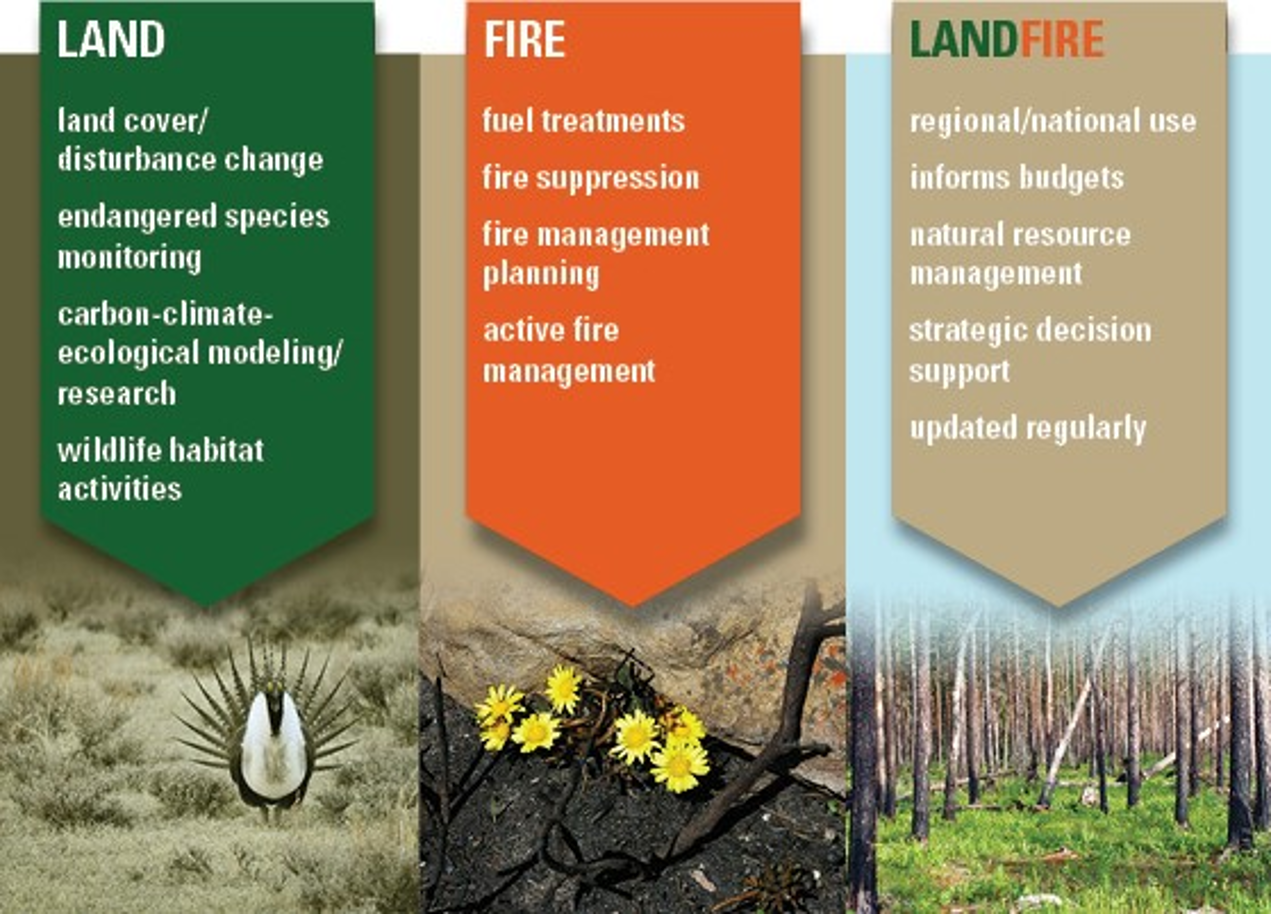
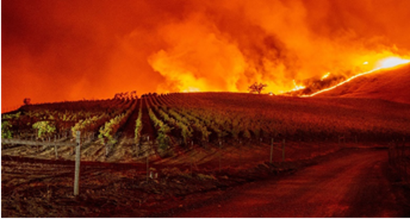
Photo credits: