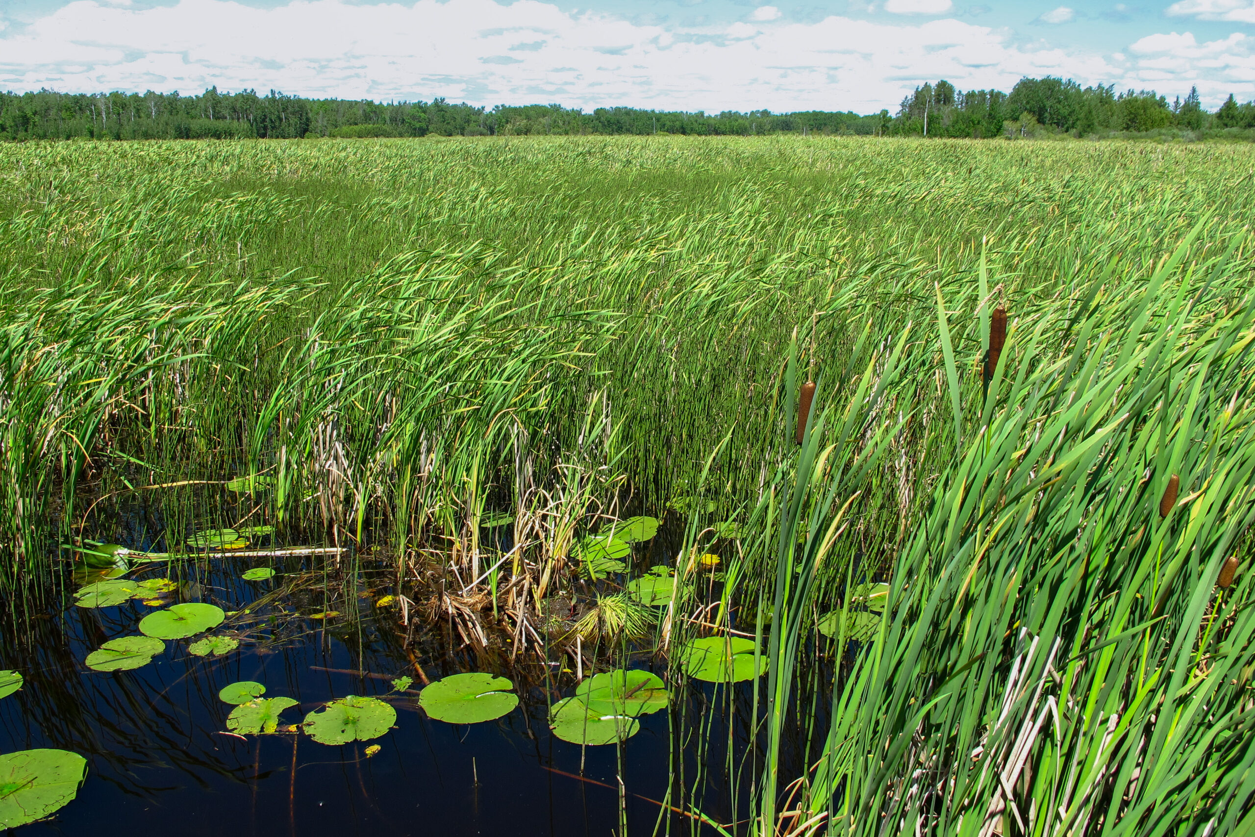
USNVC vegetation maps are a valuable tool for understanding the hydrological functions of different plant communities, assessing flood risks, prioritizing mitigation efforts, and promoting sustainable watershed management practices. Different vegetation types have varying impacts on water absorption, runoff, and erosion. Classifying vegetation based on factors like physiognomy and floristics can help identify areas with infiltration rates, erosion potential, flood risk assessment, mitigation, and best management practices.
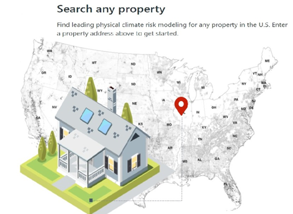
Risk Factor Analysis
Risk Factor www.riskfactor.com
The Risk Factor flood model incorporates LANDFIRE vegetation data to evaluate potential flood risk from rain, streamflow, sea level rise, tide, and storm surge for any location in the U.S. It is a complex system comprised of Earth and climate projection data and hydraulic and hydrology models built on decades of peer-reviewed research.
The inclusion of environmental changes that impact flood risks, such as sea-level rise and heavy precipitation pattern allow it to forecast how flood risks will change over time due to climate changes.

Flood Risk and Best Management Practices
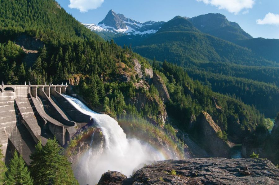
Seattle Power and Light- Skagit River Hydroelectric Project. During the Federal Energy Regulatory Commission (FERC) relicensing process for the Skagit River Hydroelectric project in NW-Washington, Seattle Power and Light used the USNVC to map the area’s vegetation. They compiled existing data and used remote sensing to describe and map vegetation at the “group” level within the study area. Goals of the effort included:
- Provide best management practices (BMP) and procedures for the vegetation management within the transmission line right-of-way and in other areas within the FERC Boundary around Project facilities.
- Provide sufficient habitat information to prioritize field surveys, including model verification surveys
- Describe baseline vegetation resources and environmental conditions within the study area.
- Provide information on wetland communities within the area.
- To the extent possible, provide information for assessing fish and wildlife habitat.
- To the extent possible, provide information for assessing important tribal resources, including forage for important wildlife and culturally important plants.
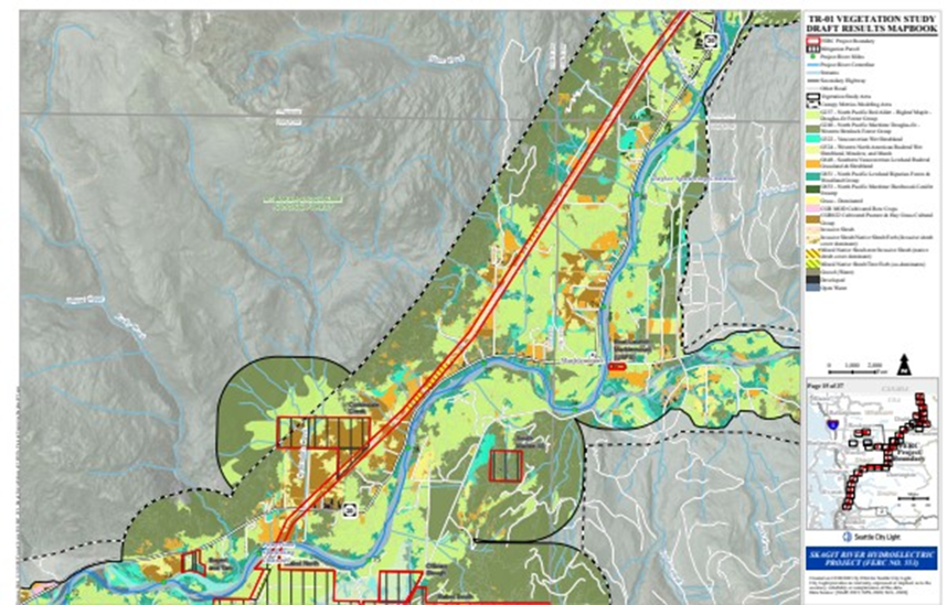
Snapshot of the Hydroelectric Right-of-Way https://www.seattle.gov/city-light/in-the-community/current-projects/skagit-relicensing
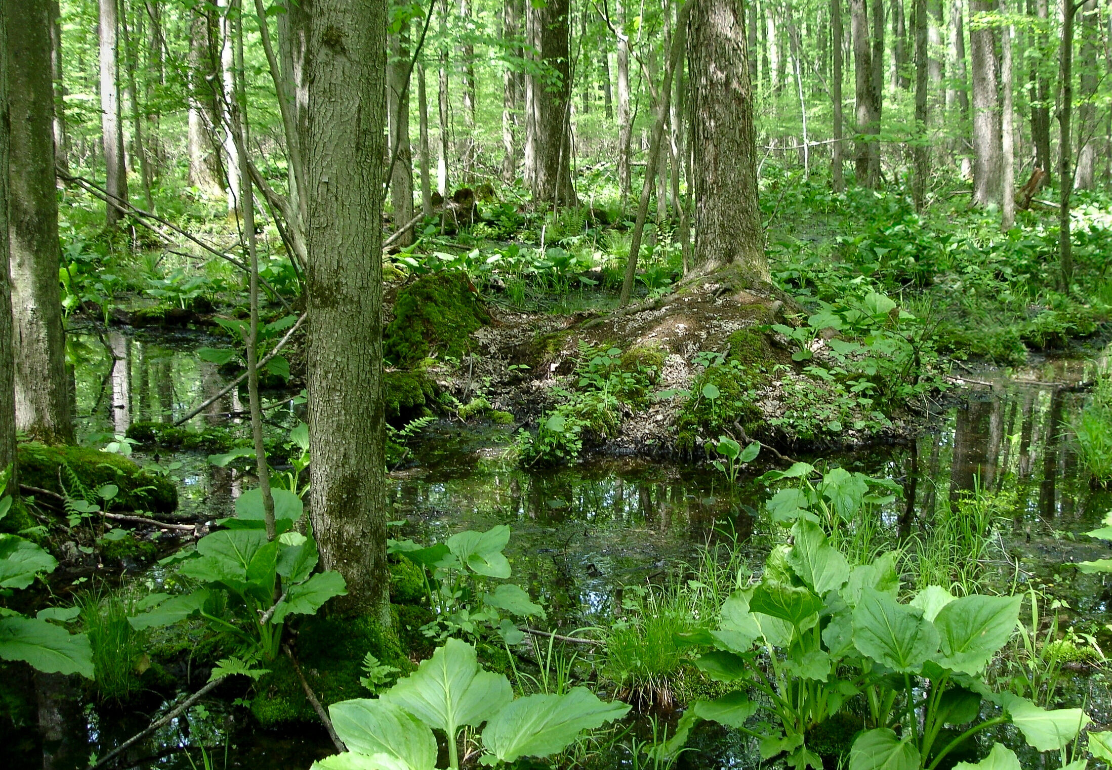
Wetlands and Riparian Health
Washington Department of Fish and Wildlife conducted a study of wetland areas’ condition & losses after the construction of Albeni Dam.
As part of the study, a comparison of the USNVC’s Ecological Systems map (current extent of wetlands) to the Biophysical Setting map (historical extent of wetlands) was made.
Albeni Falls Dam in Pend Orielle County, Washington, has impacted wetlands through the following:
- Initial inundation of wetlands following dam construction
- Erosion of wetlands due to water level fluctuations during dam operation, which causes an estimated loss of 30 acres of wetlands per year.
- Losses are particularly acute in the Clark Fork River Delta, which is ranked as one of the top 10 wetland priority areas in Idaho.

Photo credits: Joshua Cohen, Dan Wovcha