
VegBank – VegBank is the vegetation plot database of the Ecological Society of America’s Panel on Vegetation Classification. VegBank consists of three linked databases that contain (1) the actual plot records, (2) vegetation types recognized in the U.S. National Vegetation Classification and other vegetation types submitted by users, and (3) all plant taxa recognized by ITIS/USDA as well as all other plant taxa recorded in plot records. Vegetation records, community types and plant taxa may be submitted to VegBank and may be subsequently searched, viewed, annotated, revised, interpreted, downloaded, and cited.

USDA PLANTS Database – The PLANTS Database provides standardized information about the vascular plants, mosses, liverworts, hornworts, and lichens of the U.S. and its territories. It includes names, plant symbols, checklists, distributional data, species abstracts, characteristics, images, crop information, automated tools, onward Web links, and references. This information primarily promotes land conservation in the United States and its territories, but academic, educational, and general use is encouraged. PLANTS reduces government spending by minimizing duplication and making information exchange possible across agencies and disciplines. PLANTS is a collaborative effort of the USDA NRCS National Plant Data Center (NPDC), the USDA NRCS Information Technology Center (ITC), The USDA National Information Technology Center (NITC), and many other partners.
NatureServe Explorer – Explorer is an authoritative source for information on more than 70,000 plants, animals, and ecosystems of the United States and Canada. It is a product of NatureServe and its natural heritage member programs. For species, Explorer includes particularly in-depth coverage for those that are rare and endangered, and the database can be used to easily find: scientific and common names; conservation status; distribution maps; images for thousands of species; life histories; conservation needs; and more. For ecosystems, NatureServe Explorer is also the source for the descriptions for the International Vegetation Classification (IVC) and Ecological Systems. The IVC partners with the USNVC, currently providing detailed content for over 7000 associations and alliances found in the U.S. that will be screened in developing the initial content of the NVC. Explorer provides access to the Ecological Systems Classification, which has been used as the map legend for both the USGS’s National Gap Analysis Program and the LANDFIRE Project.

LANDFIRE – LANDFIRE is a shared interagency wildland fire management data program across the United States and Territories. Leadership, management, and oversight are through the U.S. Department of Agriculture Forest Service – Fire and Aviation Management and the U.S. Department of the Interior – Office of Wildland Fire.
LANDFIRE provides more than twenty landscape-scale geospatial products of biological and ecological data, including data such as vegetation types and fire behavior fuel models that support all-lands planning, fire and natural resources management, operations, analyses and assessments.

National Park Service Vegetation Inventory – The National Park Service is developing local vegetation classifications, vegetation maps, and a standard suite of associated products for more than 250 national parklands. Plot data are collected in conformance with Federal Geographic Data Committee standards for the U.S. National Vegetation Classification.
U.S. Department of Agriculture, Natural Resource Conservation Service – Natural Resource Inventory. The National Resources Inventory (NRI) program collects and produces scientifically credible information on the status, condition, and trends of land, soil, water, and related resources on the Nation’s non-federal lands in support of efforts to protect, restore, and enhance the lands and waters of the United States. It was initially mandated by the Rural Development Act of 1972 (P.L. 92-419) to conduct a “land inventory reflecting soil, water, and related resource conditions.”
U.S. Department of Agriculture, U.S. Forest Service– The USDA Forest Service Geodata Clearinghouse is an online repository of digital data related to forest resources. It provides access to datasets covering forests and grasslands, including information on boundaries and ownership, natural resources, roads and trails. The Clearinghouse also features data concerning State and privately owned forested areas, such as insect and disease threats and surface water importance. In addition, it offers downloadable map products, raster data, and links to other sources of forest resource information.
National Wetlands Inventory, U.S. Fish and Wildlife Service– The National Wetlands Inventory provides information to the public on the extent and status of the nation’s wetland and deepwater habitats, as well as changes to these habitats over time. It produces and distributes maps and other geospatial data as well as monitors changes in these habitats through time. Two resources available to the public are the Wetlands Geospatial Dataset and the Wetlands Status and Trends reports.
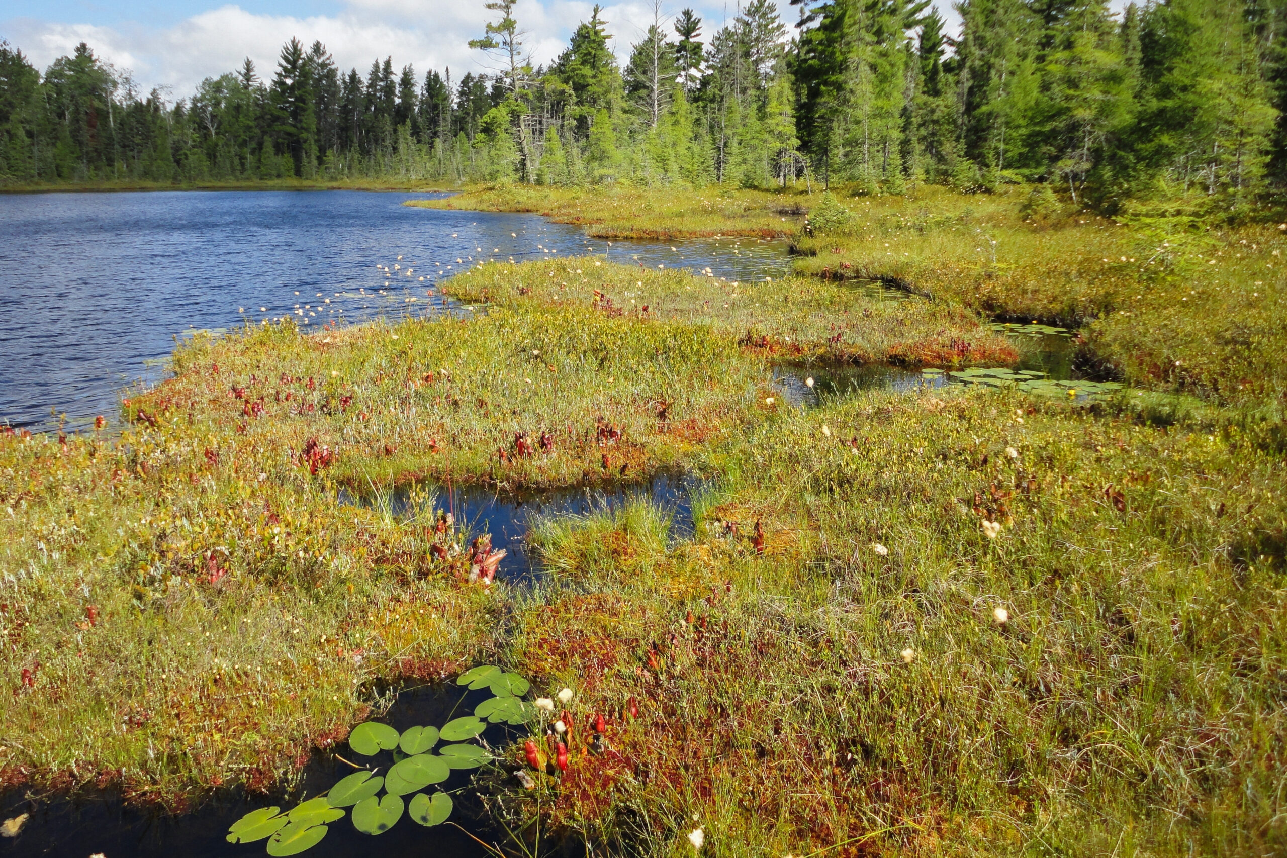
Photo credits: Joshua Cohen